

Municipality · Samar
Santa Margarita.
- Municipality
- Samar
About Santa Margarita
Santa Margarita is a municipality in Samar, Eastern Visayas. A full guide to this destination is in progress. Attractions, events and local businesses appear here as they are published.
No businesses listed in Santa Margarita yet
If you run one, listing it takes a few minutes and it's free.
List your businessFeatured
Featured across Eastern Visayas
Towns & cities
See all →

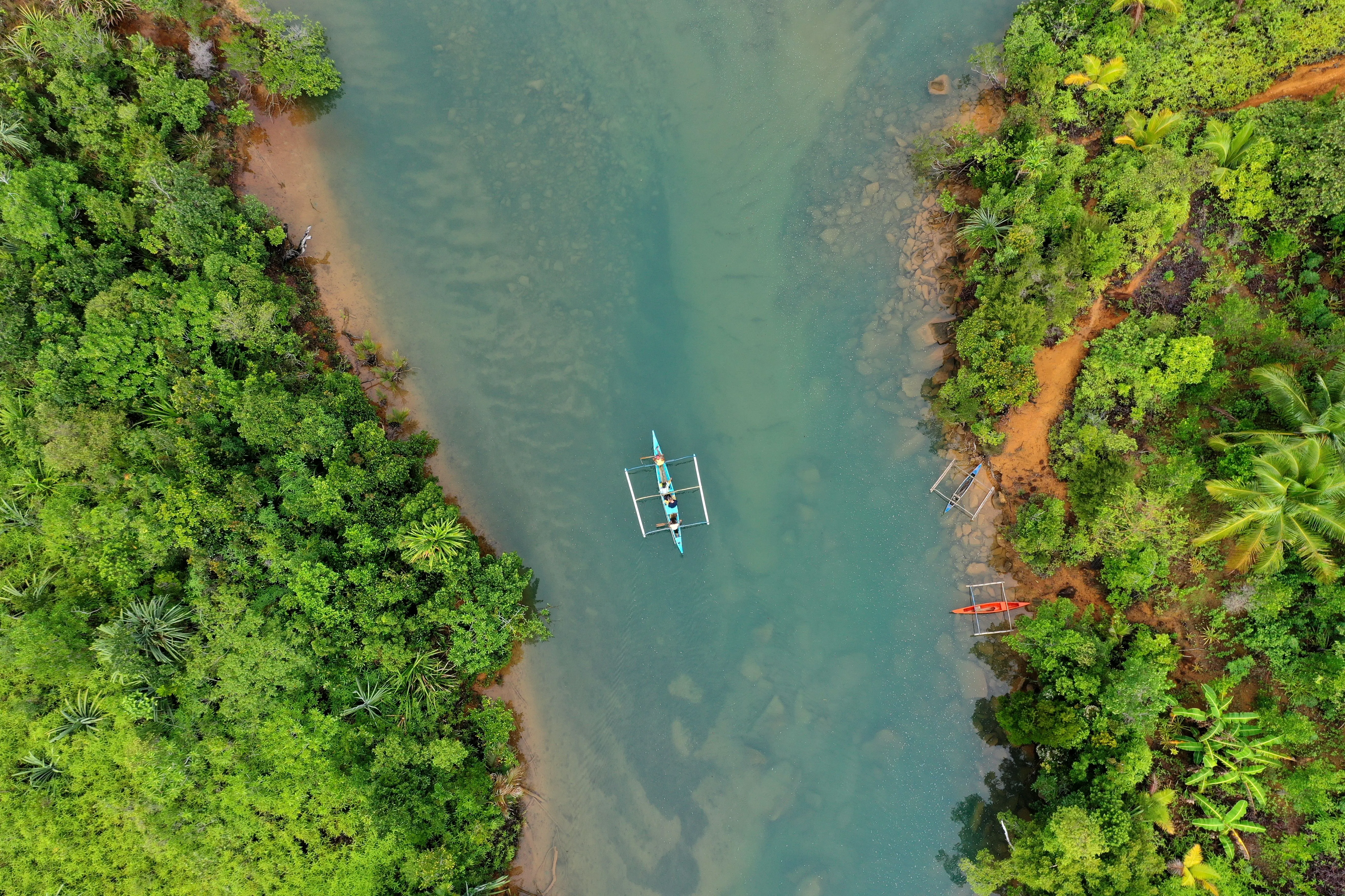
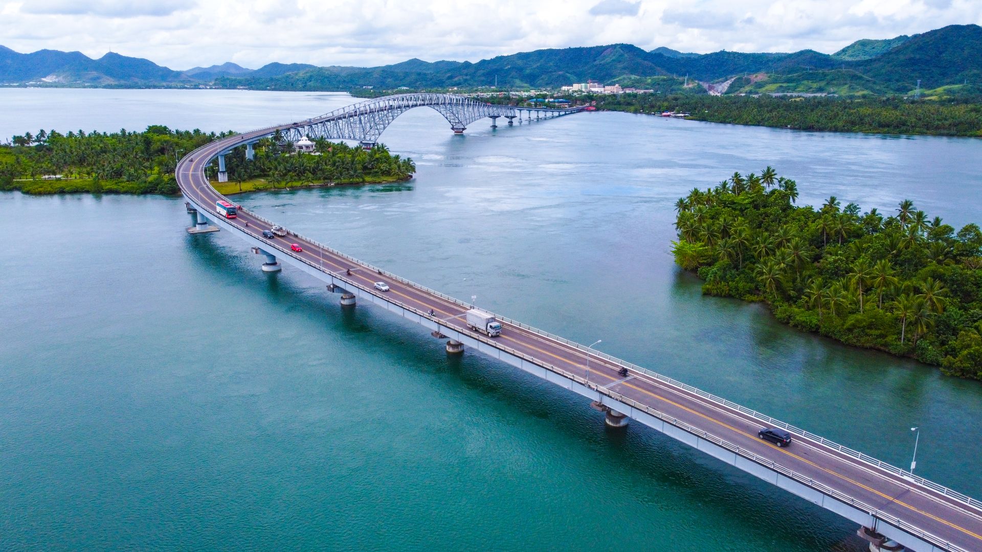
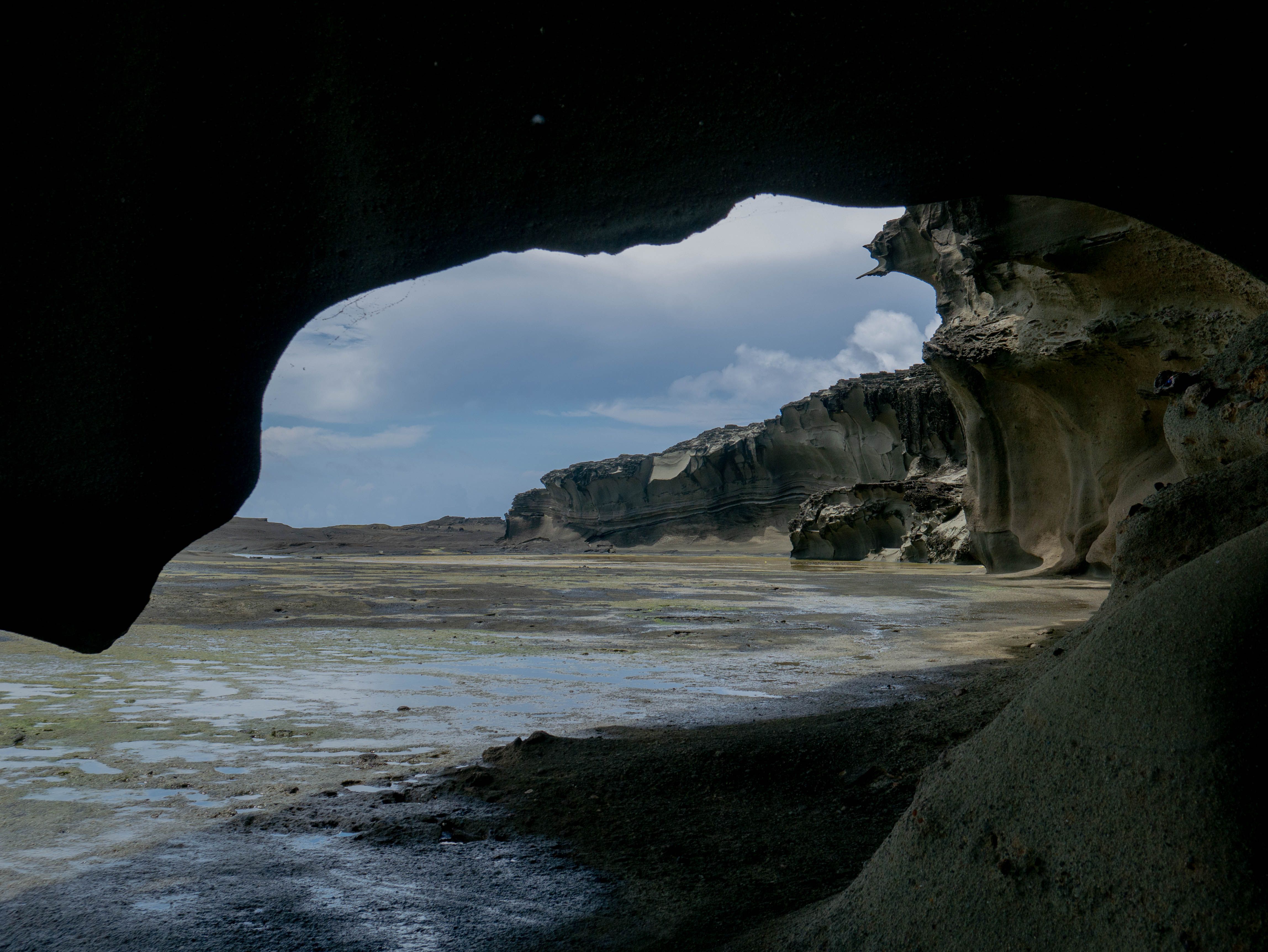
Tourist spots
See all →-
Adventure Featured
Binuga Hills and Camping Site
Rosario
-
Island Featured
Macaningning Islet
Laoang
-
Beach Featured
Borobodiongan Beach
Victoria
-
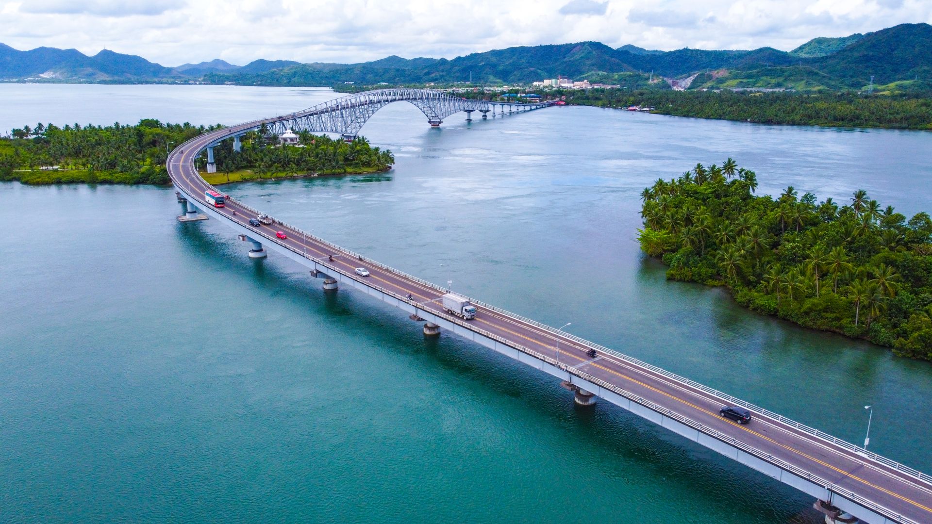 Landmark Featured
San Juanico Bridge
Tacloban City
-
Viewpoint Featured
Sea of Clouds at Solong Road
Silvino Lobos
-
Waterfall Featured
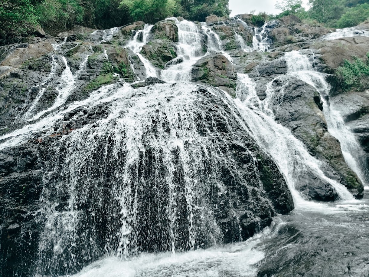
Busay Falls
San Isidro
-
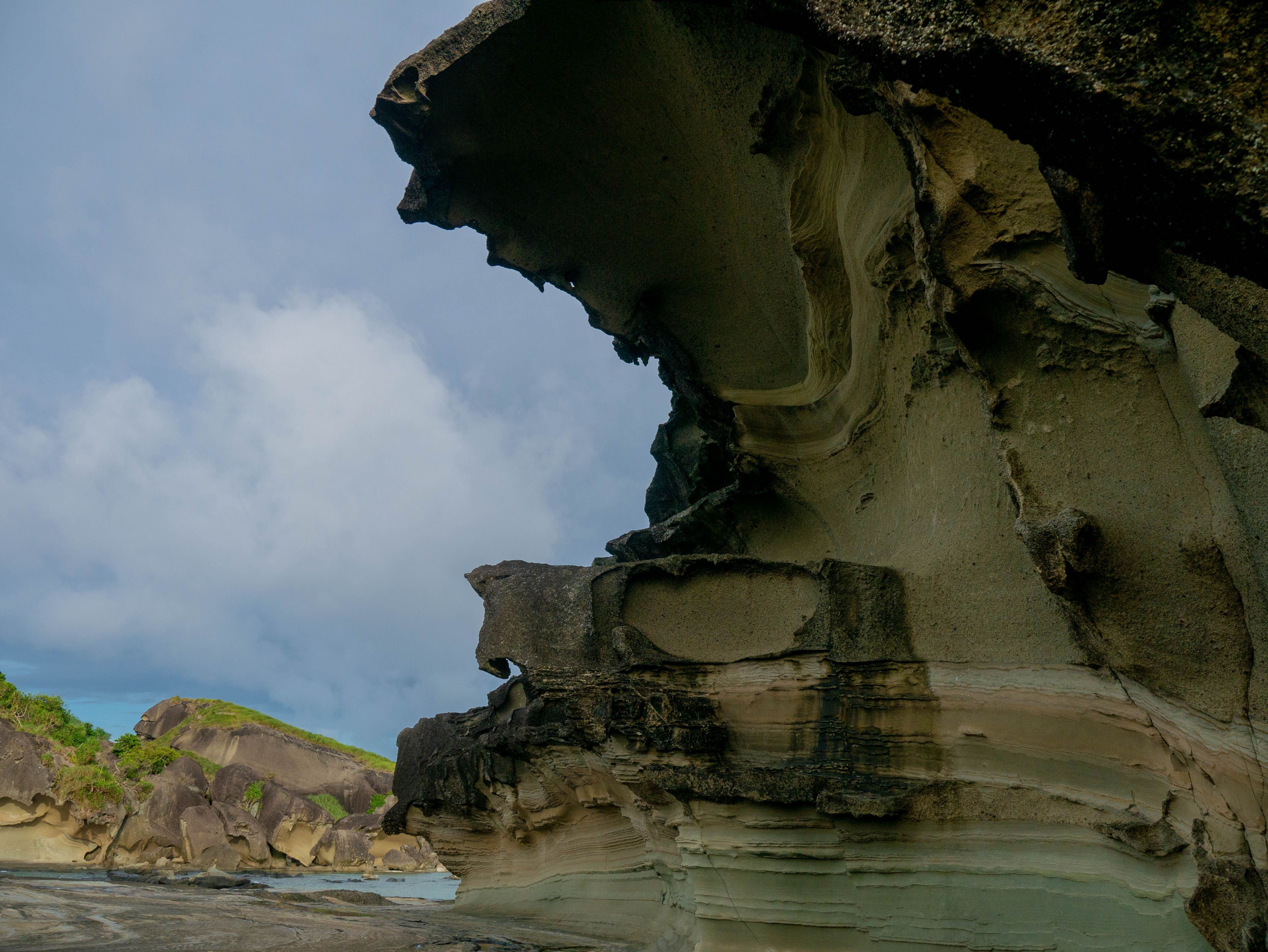 Rock Formation Featured
Biri Rock Formations
Biri
-
Beach Featured
San Antonio White Sand Beaches
San Antonio
Nearby
Near Santa Margarita
Keep exploring
More in Samar
Tourist spots
See all →-
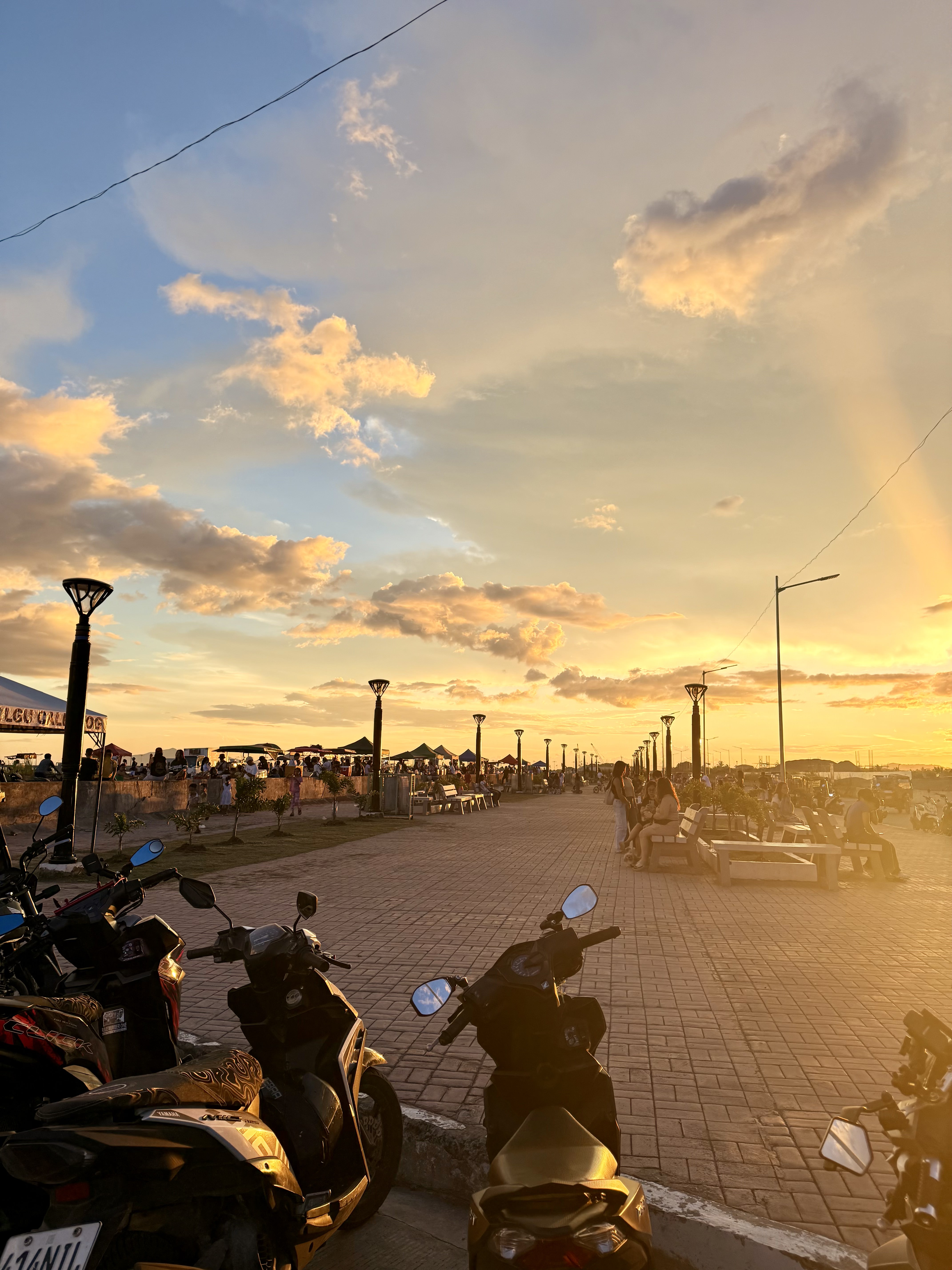 Town Park & Plaza Featured
Coastal Road Linear Park Calbayog
Calbayog City
-
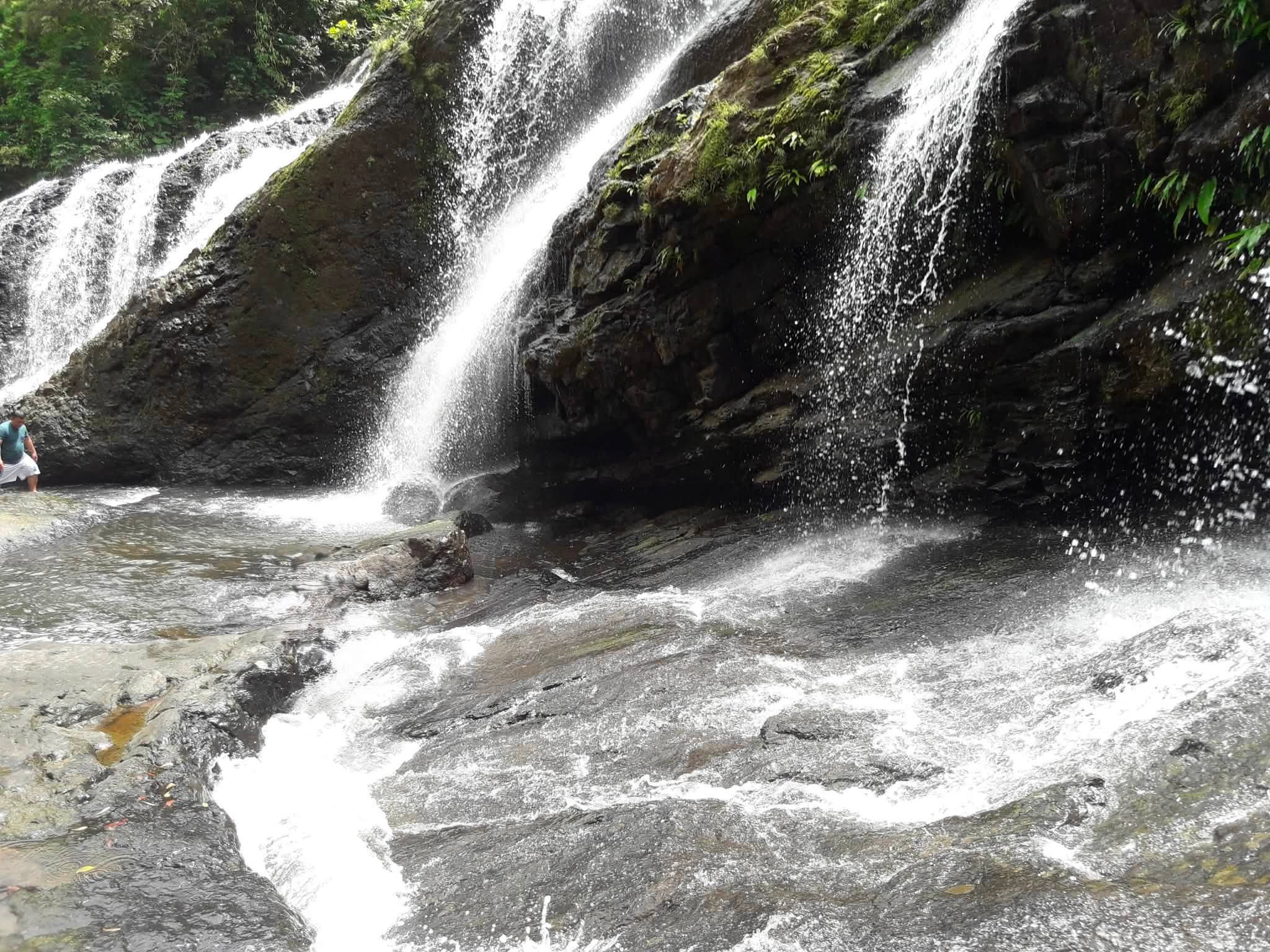 Waterfall Featured
Tarangban Falls
Calbayog City
-
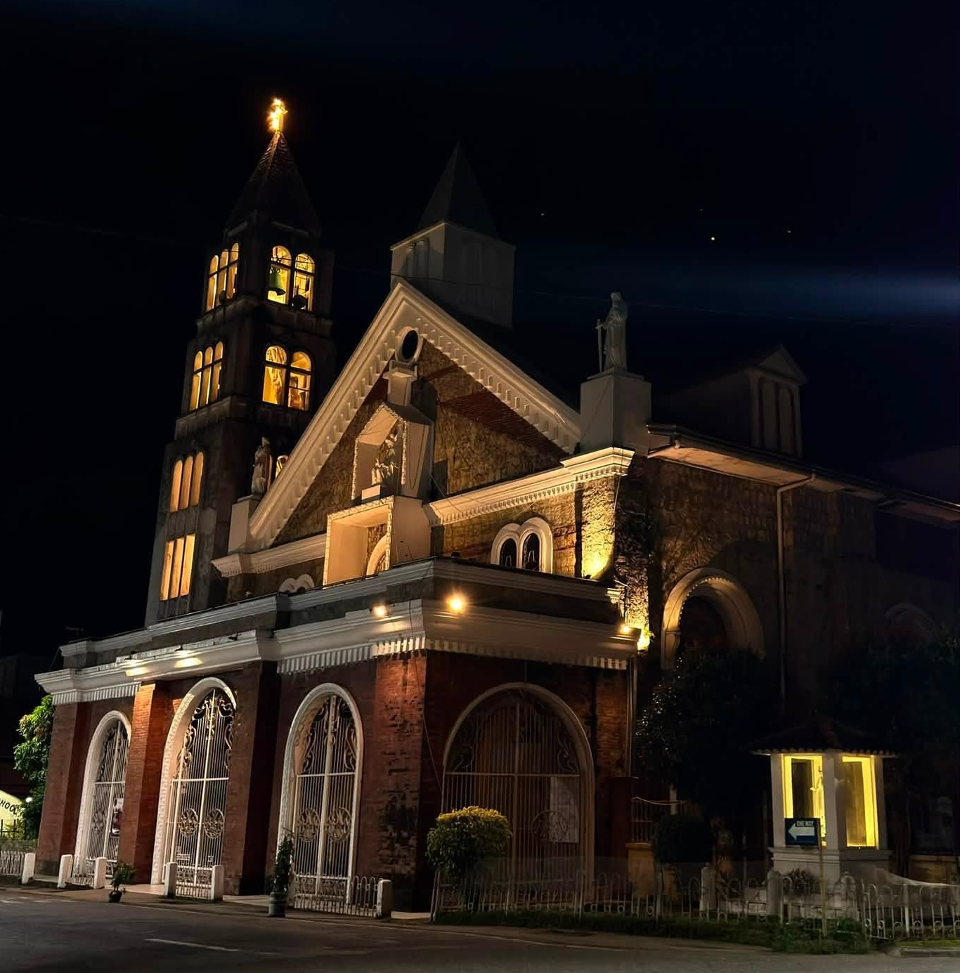 Church Featured
Saints Peter and Paul Cathedral (Calbayog Cathedral)
Calbayog City
-
Cave Featured
Sohoton Natural Bridge
Basey
-
 AdventureEnded
Grand Carnival Calbayog
Calbayog City
Towns & cities
See all →Municipality of Santa Margarita
Santa Margarita on the map
Samar, Eastern Visayas
Something out of date on this page? Tell us and we will check it.
Eastern Visayas
The rest of the region
Where Santa Margarita sits, and where else to go. Every tile is the whole region with one province lit.
Leyte
5,576km²
43 towns
6 spots written down
Samar
5,384km²
26 towns
5 spots written down
Eastern Samar
4,253km²
23 towns
1 spot written down
Northern Samar
3,441km²
24 towns
136 spots written down
Southern Leyte
1,656km²
19 towns
1 spot written down
Biliran
531km²
8 towns
1 spot written down
Outlines and land area from the 2023 PSGC boundaries. Counts are what we have written up so far, not what exists.