

Municipality · Samar
Tagapul-an.
- Municipality
- Samar
About Tagapul-an
Tagapul-an is a municipality in Samar, Eastern Visayas. A full guide to this destination is in progress. Attractions, events and local businesses appear here as they are published.
No businesses listed in Tagapul-an yet
If you run one, listing it takes a few minutes and it's free.
List your businessFeatured
Featured across Eastern Visayas
Towns & cities
See all →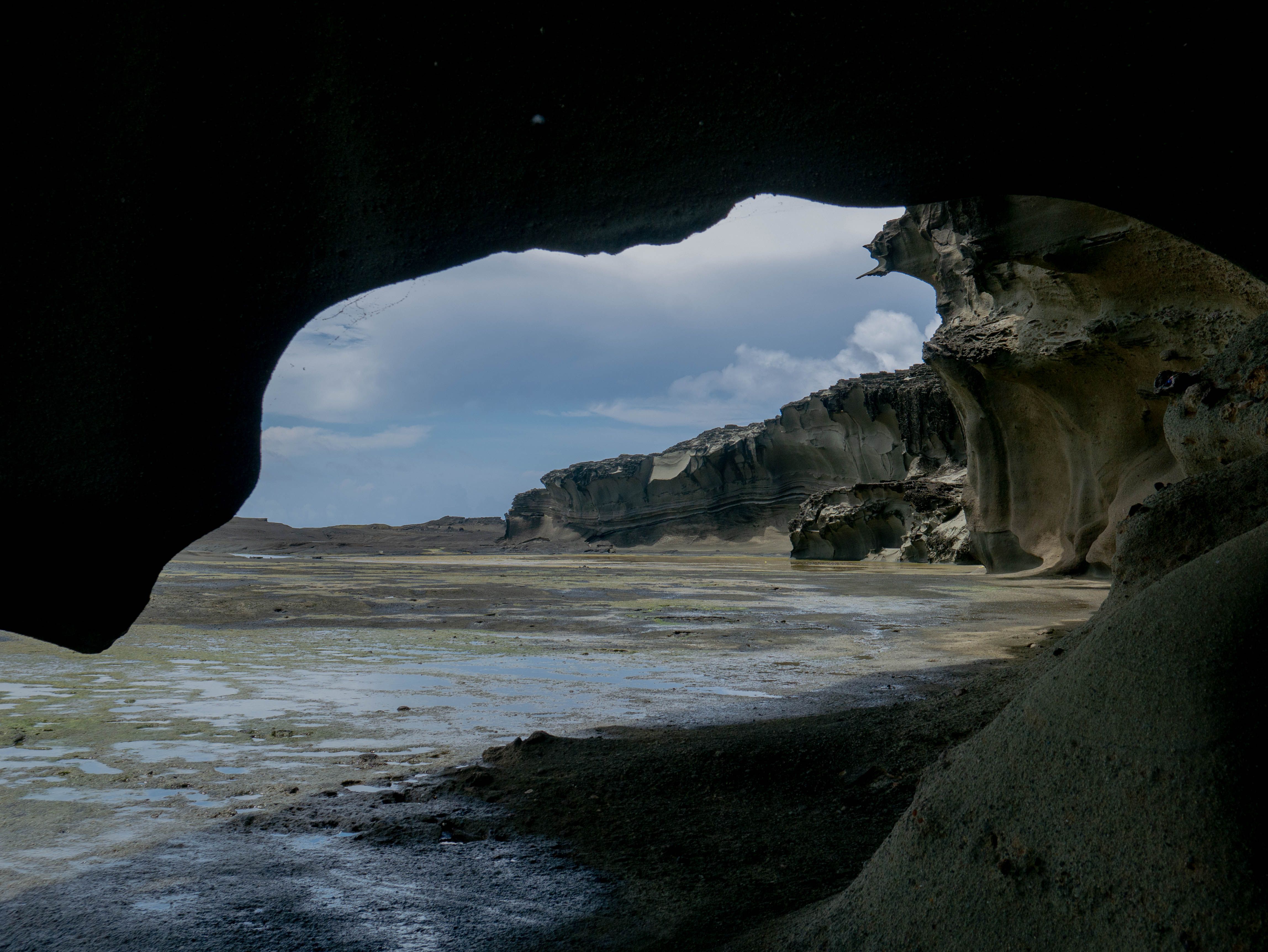


Tourist spots
See all →-
Waterfall Featured
Salawad Falls
Lope de Vega
-
 Landmark Featured
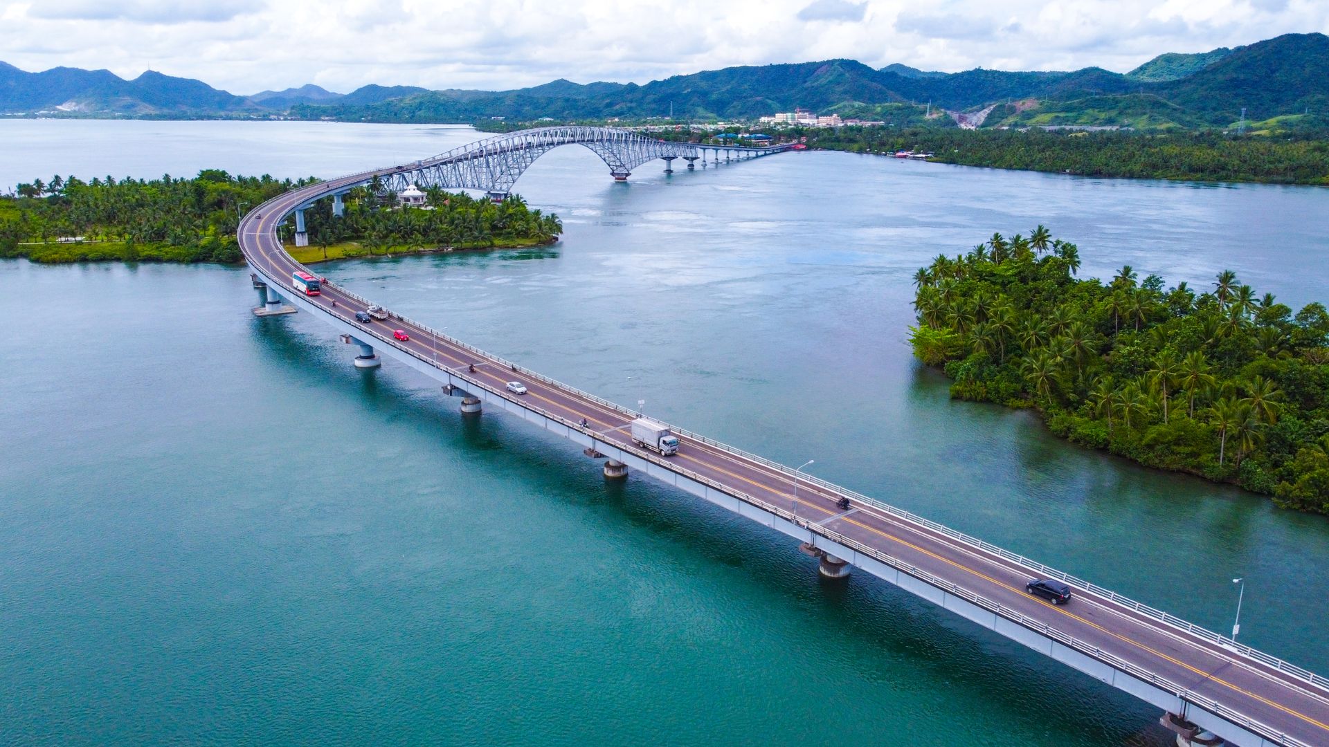
San Juanico Bridge
Tacloban City
-
Island Featured
Bani Island
Lavezares
-
Beach Featured
Bel-at Tidal Pool
Biri
-
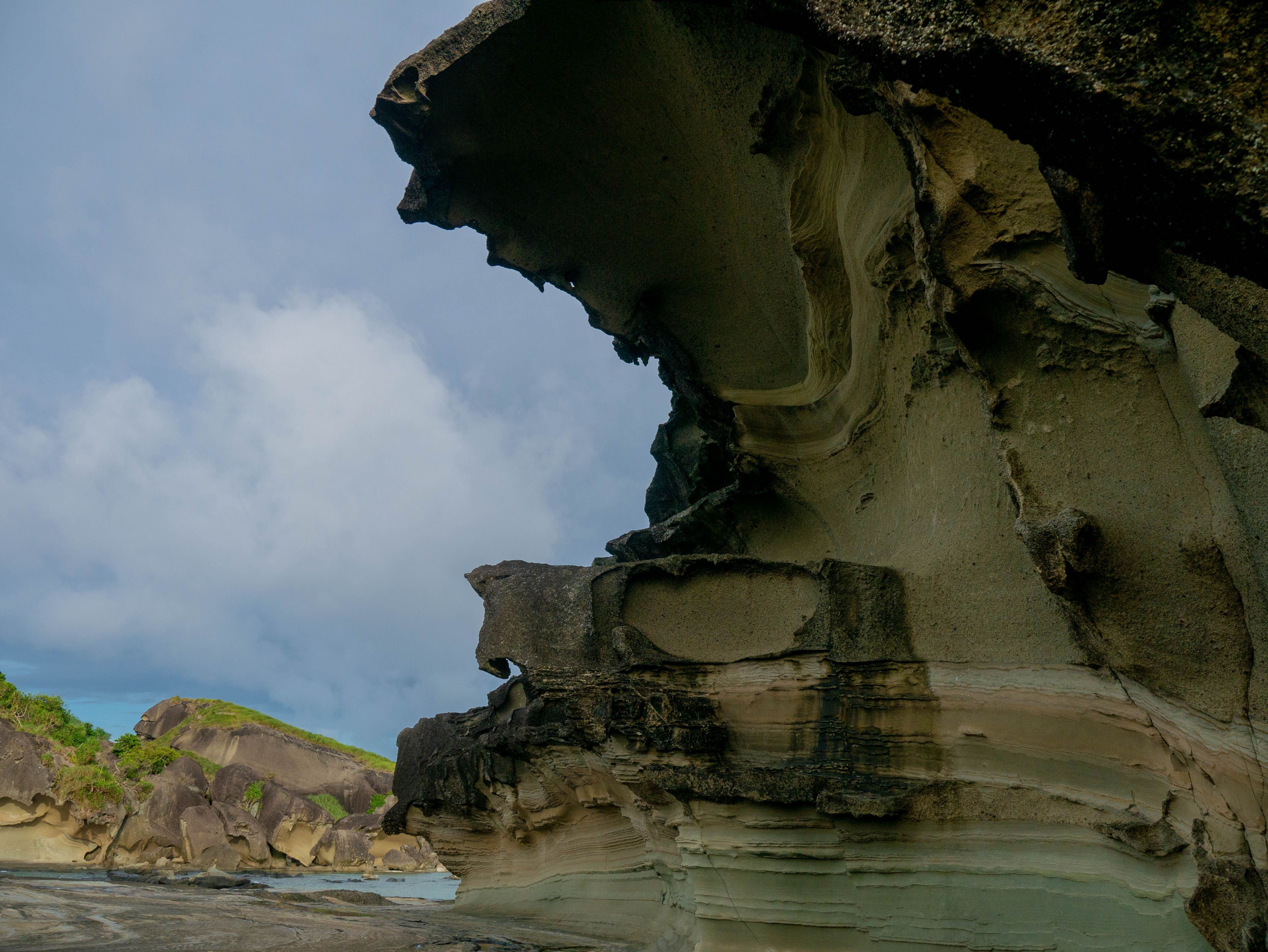 Rock Formation Featured
Biri Rock Formations
Biri
-
Waterfall Featured
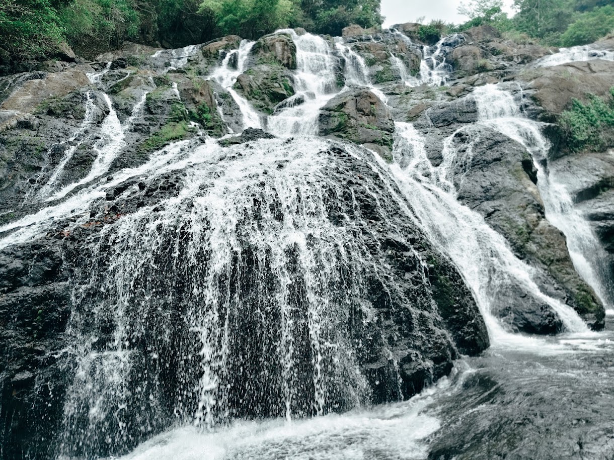
Hilulugayan Falls
Silvino Lobos
-
Viewpoint Featured
Sea of Clouds at Solong Road
Silvino Lobos
-
Rock Formation Featured
Punta Imaga Rock Formation
Allen
Nearby
Near Tagapul-an
Keep exploring
More in Samar
Tourist spots
See all →-
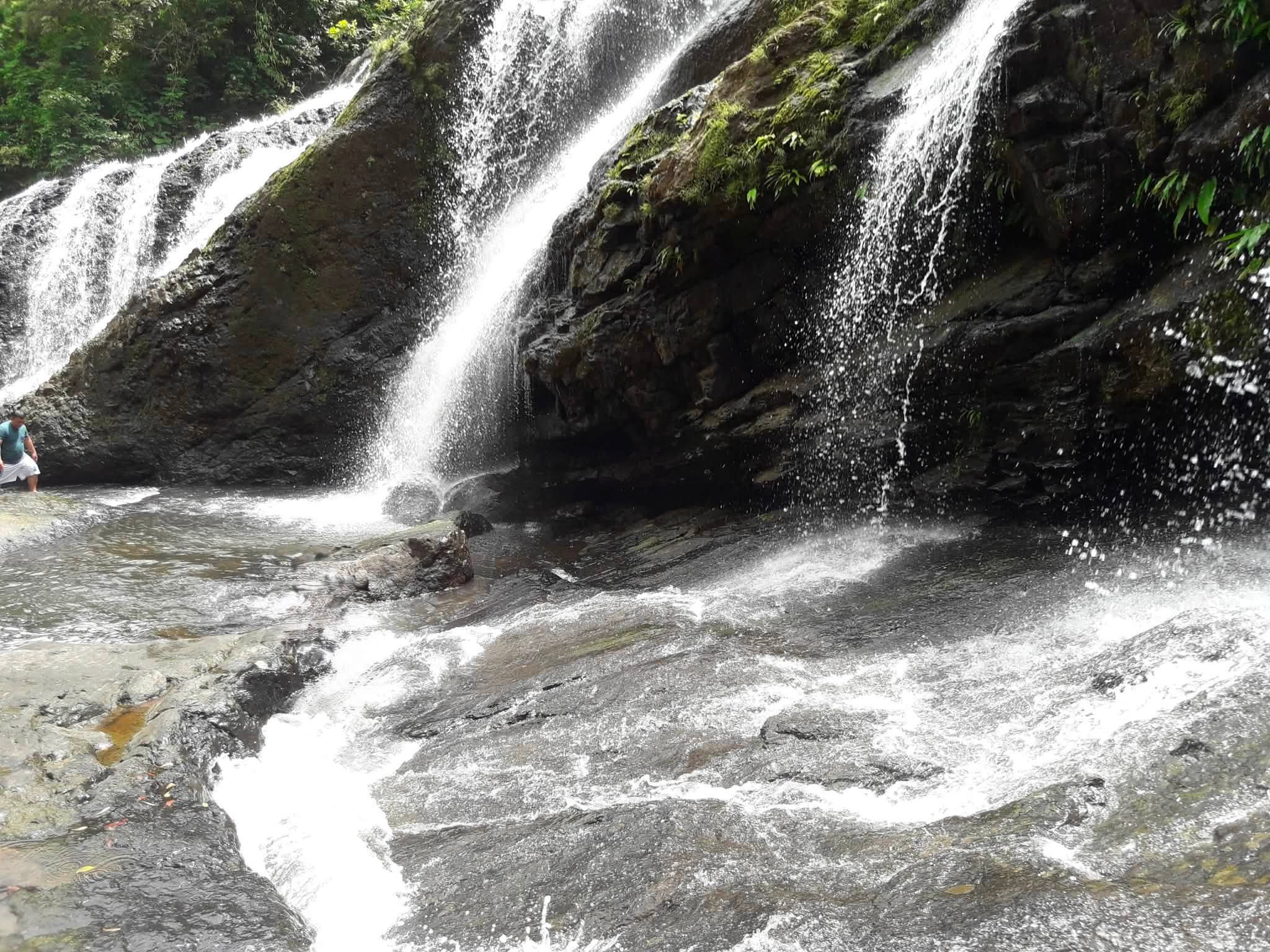 Waterfall Featured
Tarangban Falls
Calbayog City
-
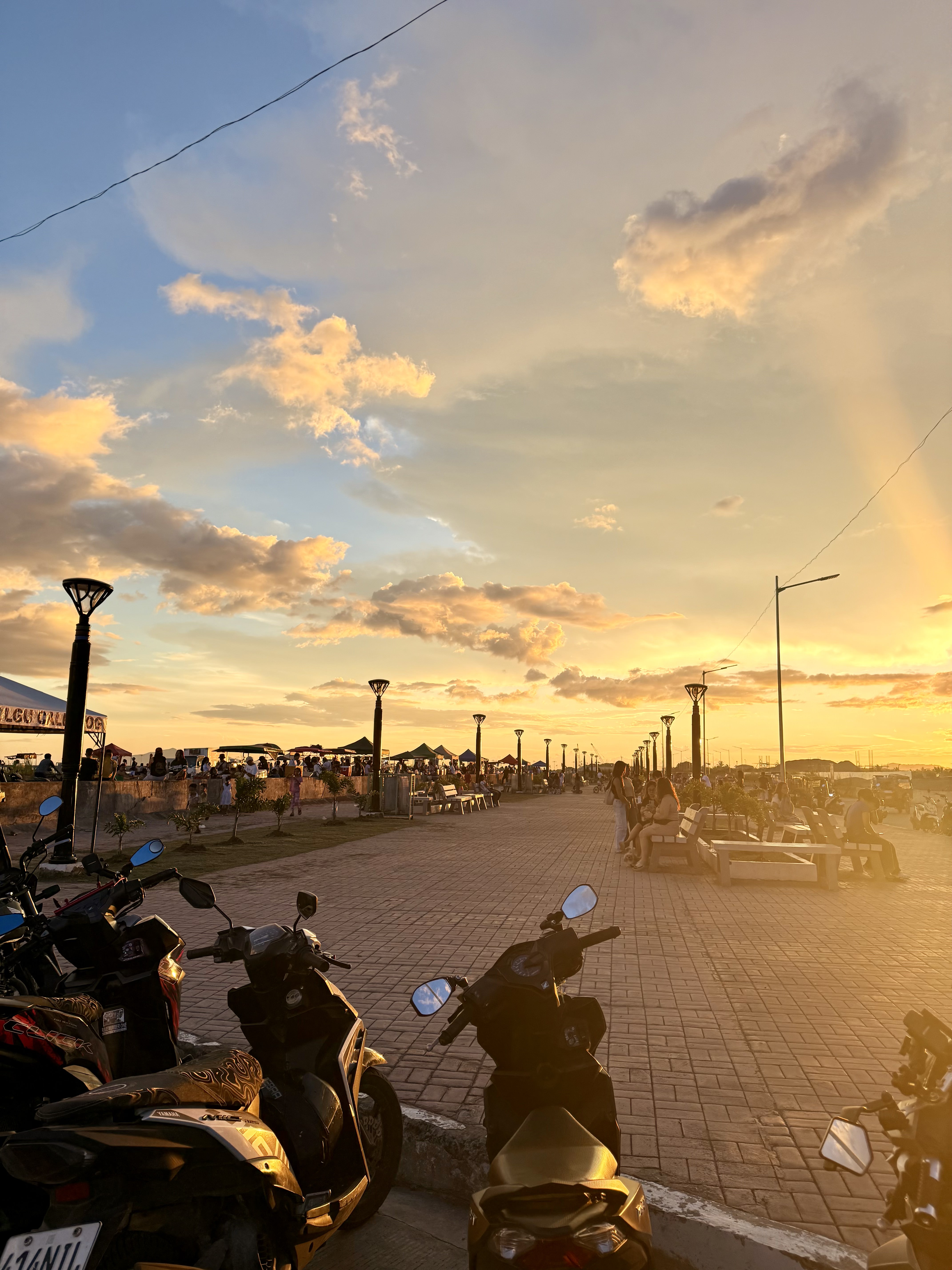 Town Park & Plaza Featured
Coastal Road Linear Park Calbayog
Calbayog City
-
 Church Featured
Saints Peter and Paul Cathedral (Calbayog Cathedral)
Calbayog City
-
Cave Featured
Sohoton Natural Bridge
Basey
-
 AdventureEnded
Grand Carnival Calbayog
Calbayog City
Towns & cities
See all →Municipality of Tagapul-an
Tagapul-an on the map
Samar, Eastern Visayas
Something out of date on this page? Tell us and we will check it.
Eastern Visayas
The rest of the region
Where Tagapul-an sits, and where else to go. Every tile is the whole region with one province lit.
Leyte
5,576km²
43 towns
6 spots written down
Samar
5,384km²
26 towns
5 spots written down
Eastern Samar
4,253km²
23 towns
1 spot written down
Northern Samar
3,441km²
24 towns
136 spots written down
Southern Leyte
1,656km²
19 towns
1 spot written down
Biliran
531km²
8 towns
1 spot written down
Outlines and land area from the 2023 PSGC boundaries. Counts are what we have written up so far, not what exists.