Cafés & Coffee
Kahana's Grill and Cafe
Catubig
Tourist spot
Catubig, Northern Samar
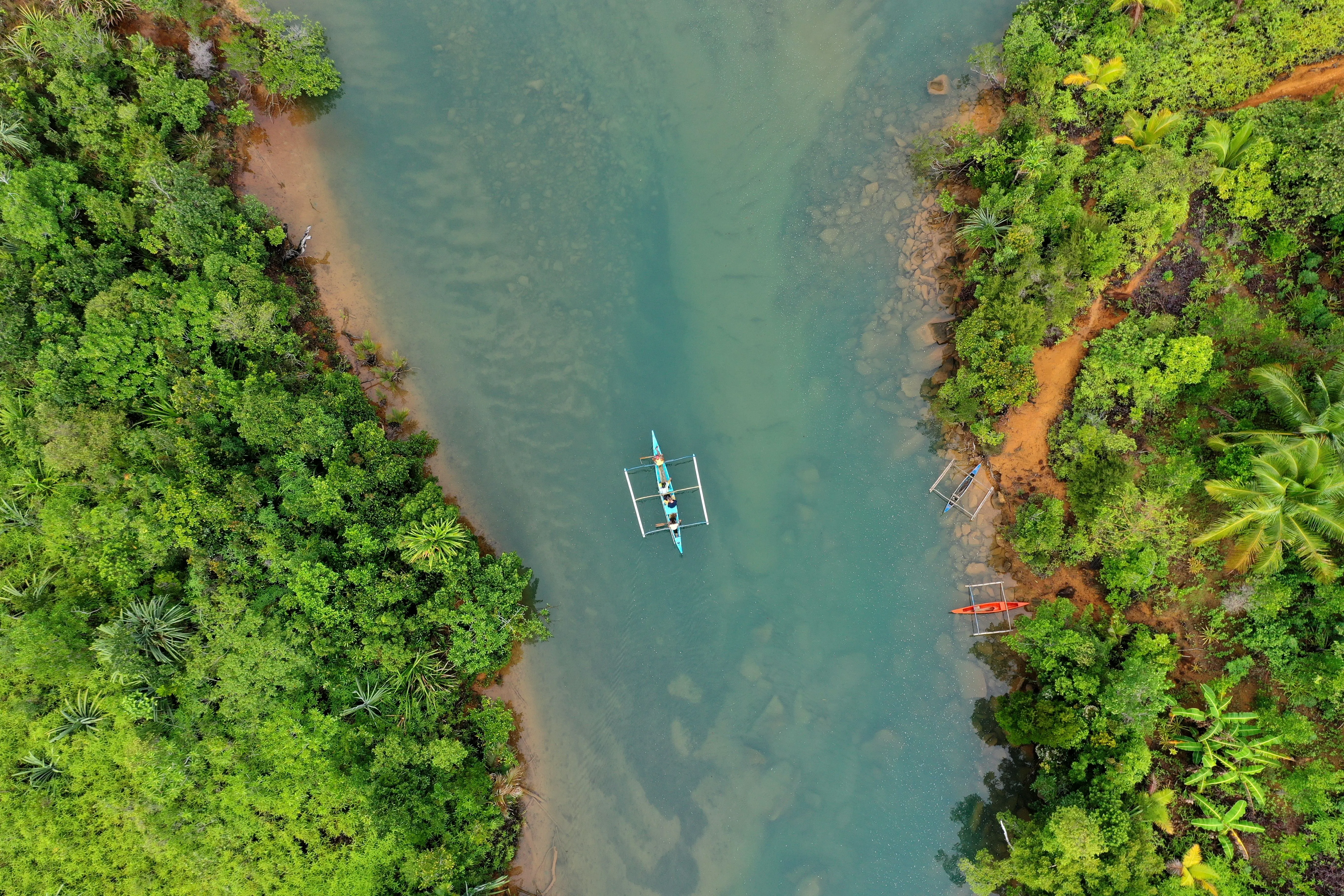
Roughly 55.7 kilometres of water crossing the municipality. The rice fields depend on it, and so does the freshwater clam harvest. The river explains the town. Seeing the rice fields it feeds, and knowing the clam harvest comes from it, makes the landscape around Catubig read as one connected thing rather than scenery.
Details being gathered. We have not gathered the visiting details for this spot yet, so the fee, the hours and the state of access are all still open questions.
Not yet verified on site Explore Catubig →
Tourist spot Catubig River
What this means
We have not gathered the visiting details for this spot yet, so the fee, the hours and the state of access are all still open questions.
We compile our spot guides from public and official sources. We only print a fee, an opening time or the state of a road once someone has checked it on the ground. Until then, we leave it blank rather than guess, because a wrong detail can send you on a wasted trip.
Travelling before we get there?
The Catubig guide lists the local tourism office and how to reach them. They can confirm the fee, the hours and whether the route is passable this week.
From Catubig.
Detailed directions to Catubig River are still being compiled. In the meantime, use the map and the directions link to plan your route. If you know the way, the transport, the fare or the state of the road, share it with us.
Hotels, resorts and places to eat in Catubig.
Fees, routes and opening hours change. If anything here is out of date, or this spot is listed under the wrong town, let us know and we'll check it. No account needed.
Featured
 Featured

 Featured

 Featured

 Featured

 Featured

 Featured

 Featured

 Featured

MacArthur Landing Memorial
Palo
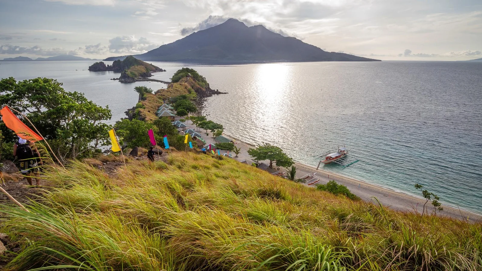
Sambawan Island
Maripipi
Sohoton Natural Bridge
Basey
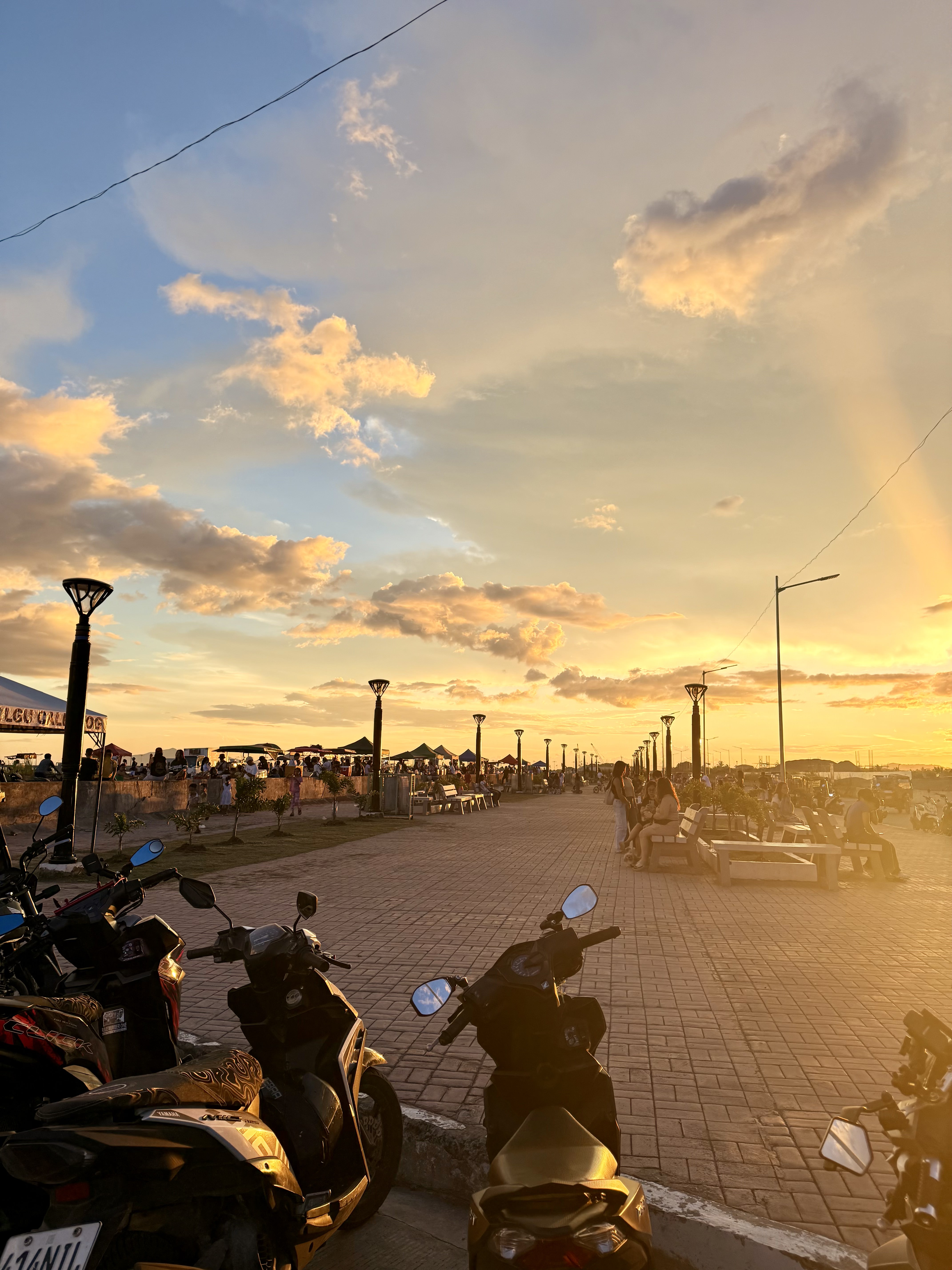
Coastal Road Linear Park Calbayog
Calbayog City
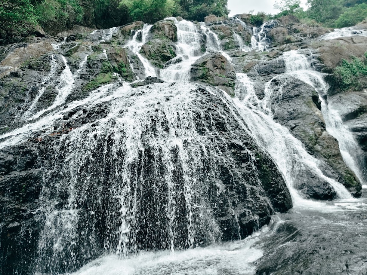
Busay Falls
San Isidro
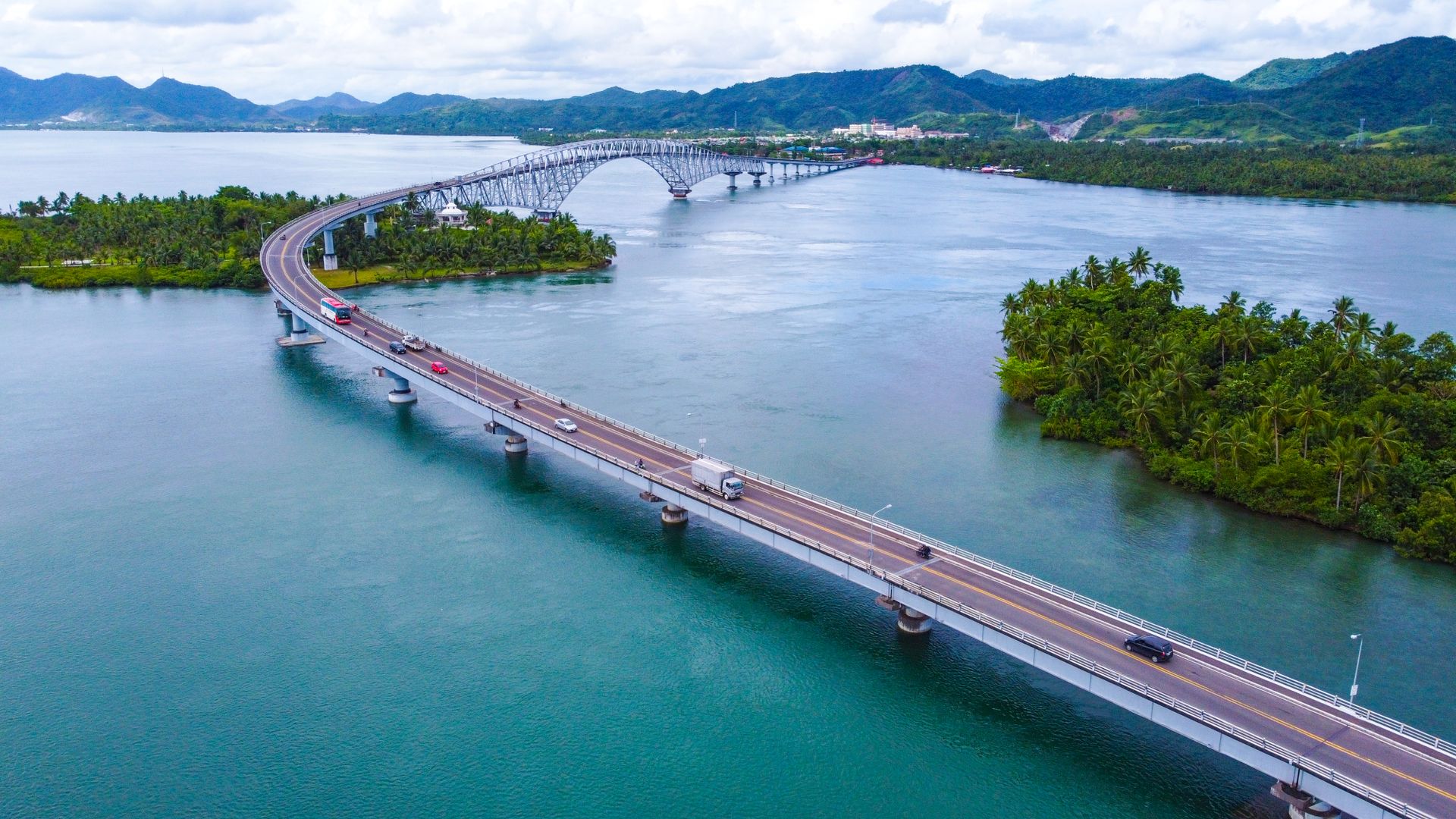
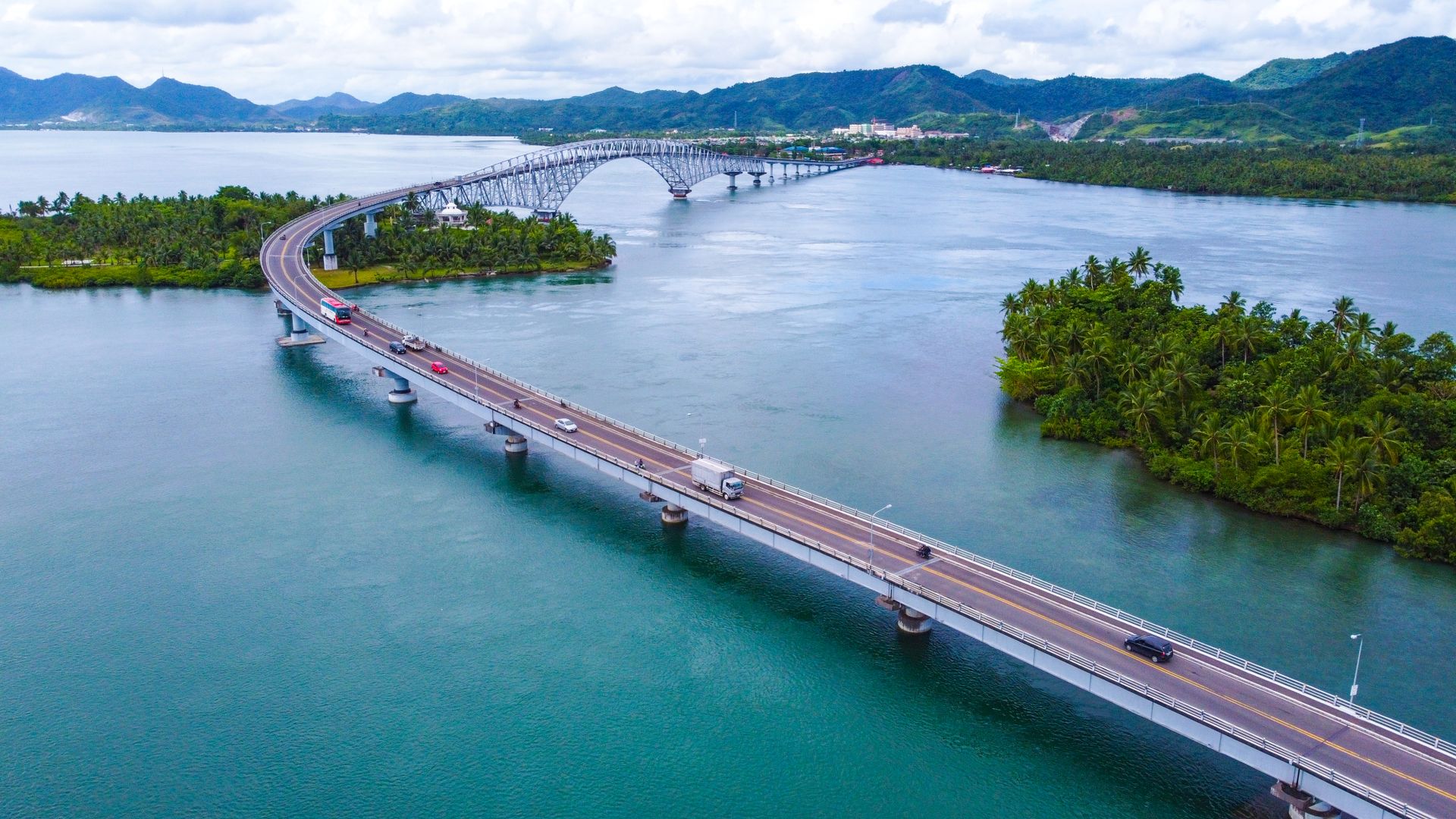
San Juanico Bridge
Tacloban City
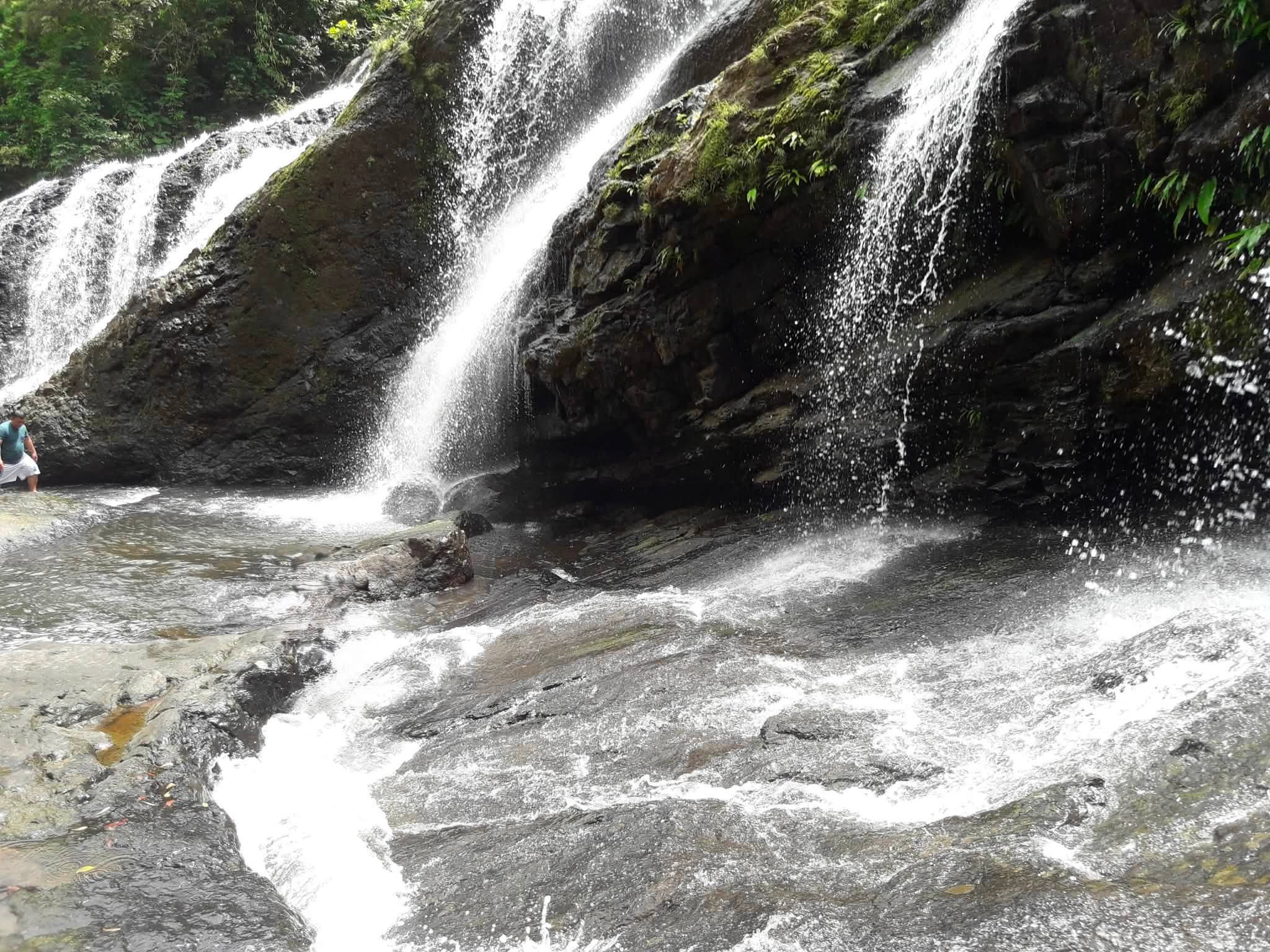
Tarangban Falls
Calbayog City
Calicoan Island
Guiuan
Keep exploring

Capul
Northern Samar
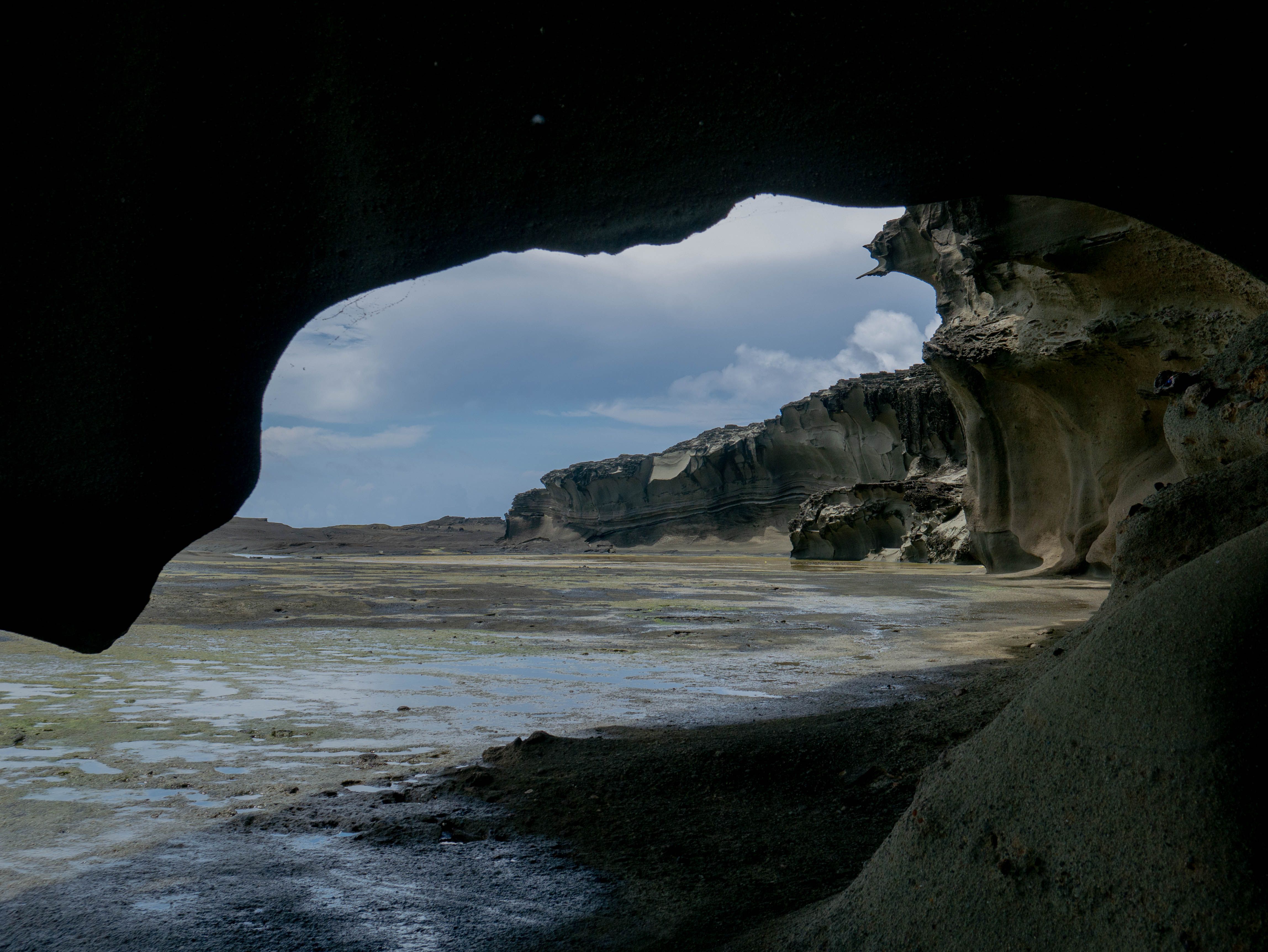
Biri
Northern Samar
Lope de Vega
Northern Samar
Laoang
Northern Samar
San Vicente
Northern Samar
San Antonio
Northern Samar
Catarman
Northern Samar
Bobon
Northern Samar
Catubig River
Details being gathered
Share your photos
We'll add the best ones here, with credit to you.